Skip to content
RAISG
Rede Amazônica de Informação Socioambiental Georreferenciada
RAISG
  • About
  • Maps
  • Publications
  • Projects
  • Radar
  • Infographic
  • Contact
  • English
    • Português
    • Español
Instagram page opens in new windowLinkedin page opens in new windowYouTube page opens in new window
  • About
  • Maps
  • Publications
  • Projects
  • Radar
  • Infographic
  • Contact

Daily Archives: 4 de February de 2020

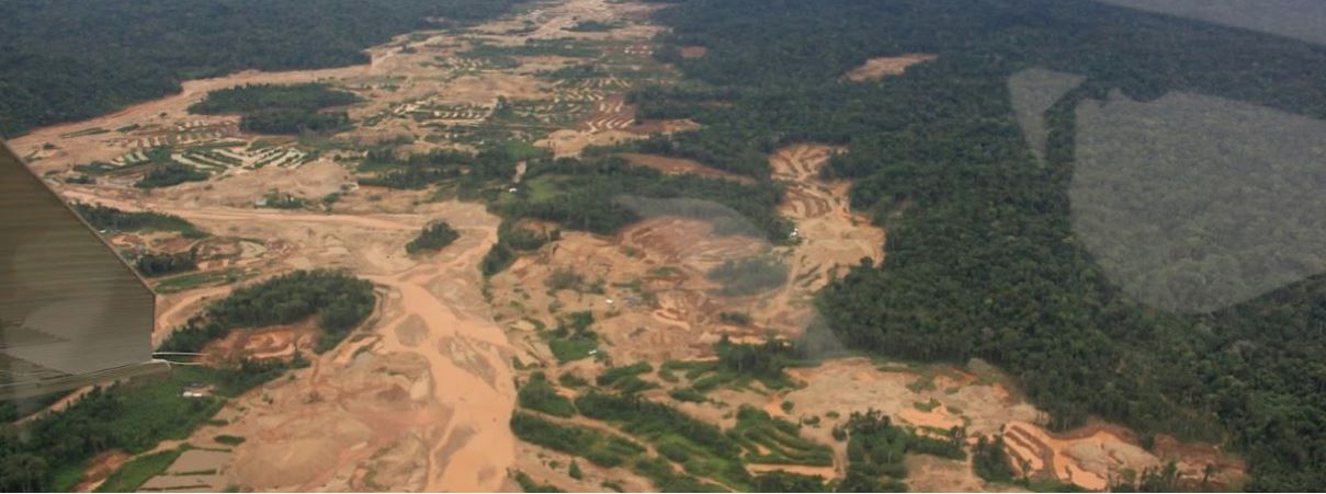
Imágenes satelitales muestran el impacto de 34 años de minería ilegal en ríos de Madre de Dios

Radar4 de February de 2020

Mongabay Latam Yvette Sierra Praeli 04 de Febrero de 2020   Científicos analizaron más de 3000 imágenes de satélite de la NASA para determinar los cambios que sufrieron los ríos en las últimas tres décadas. Las investigación demostró cambios en la concentración de sedimentos y sus efectos en los peces y otras especies de los…

Amazon Network of Georeferenced Socio-Environmental Information
Support
Privacy Policy | Terms of use | Made by Estúdio Teca | Login
Go to Top
Our website uses essential cookies and similar technologies in accordance with our Privacy Policy and by continuing to browse, you agree to these conditions.
Accept
Manage consent

Privacy Overview

This website uses cookies to improve your experience while you navigate through the website. Out of these, the cookies that are categorized as necessary are stored on your browser as they are essential for the working of basic functionalities of the website. We also use third-party cookies that help us analyze and understand how you use this website. These cookies will be stored in your browser only with your consent. You also have the option to opt-out of these cookies. But opting out of some of these cookies may affect your browsing experience.
SAVE & ACCEPT
Translate »