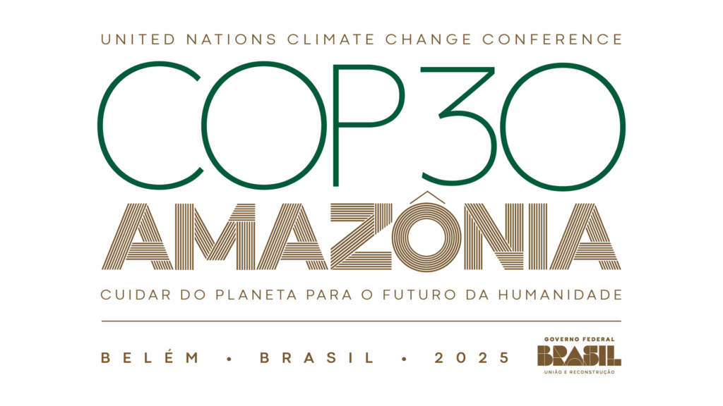
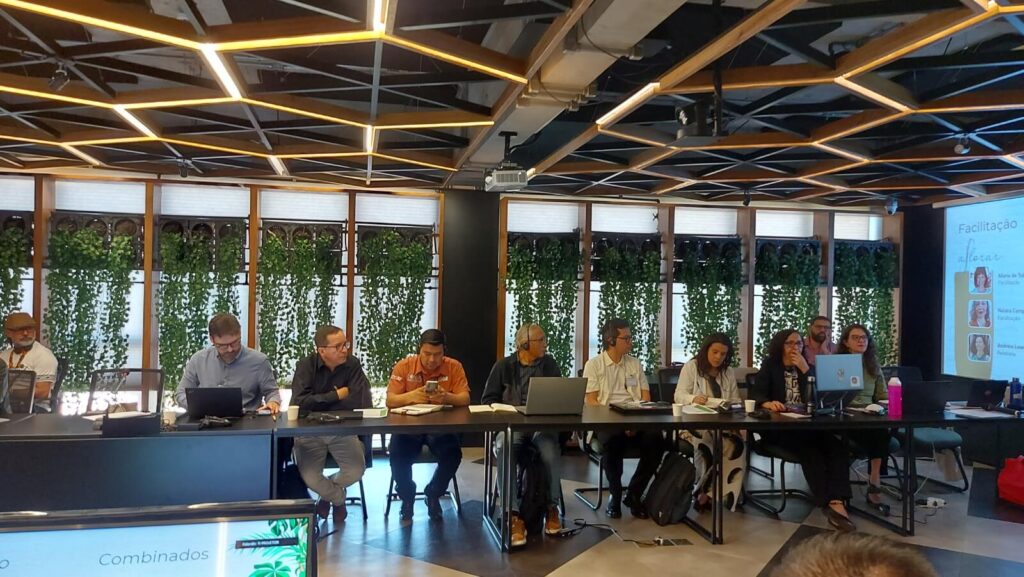
RAISG in COP30
RAISG Highlights
Follow the network’s productions and news on the website
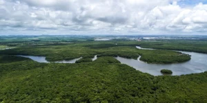
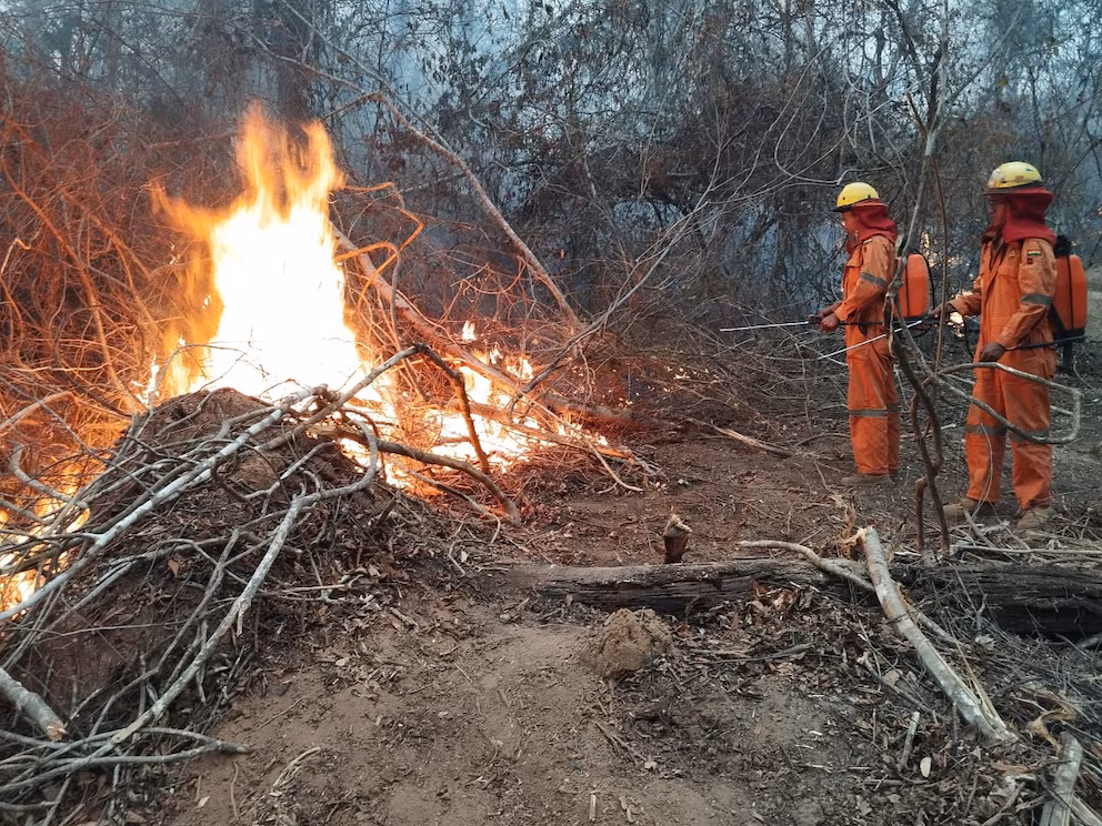
COP30: the Amazon as the center of the crisis and the climate solution
COP30, the world's largest climate change summit, will be held for the first time in the heart of the Amazon.
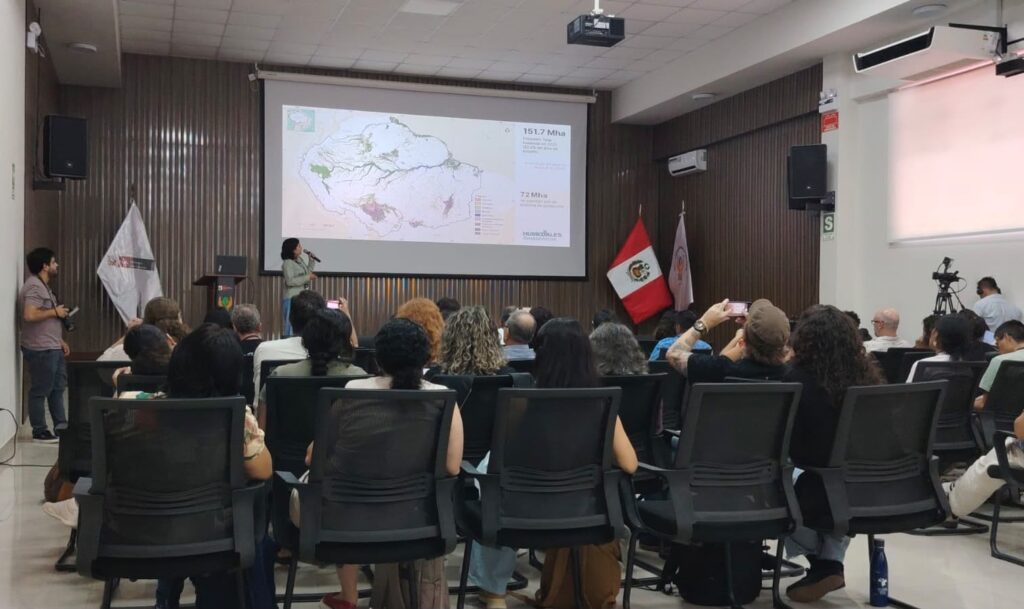
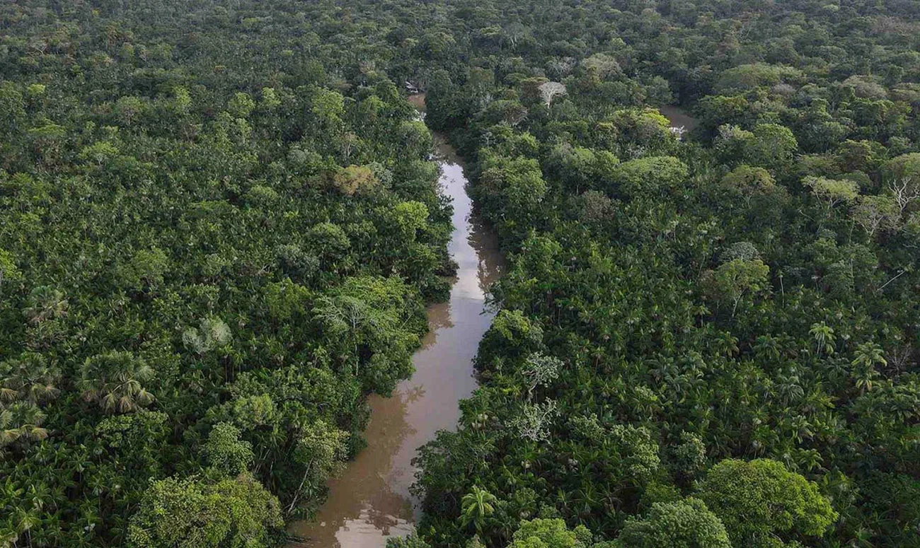
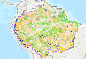
For a holistic vision of the Amazon
See also
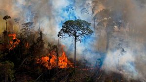
Future deforestation
Shapefile map


Indigenous science and knowledge
Project in progress

AMA 2.0 is an evolution of our regional monitoring system, with more robust data and advanced visualizations to analyze fires, deforestation, biodiversity, and ecosystem services, highlighting the fundamental role of protected areas and indigenous territories.
Cartographic data
APIs and shapefile format files for download and offline use
Online map
Geospatial information on the Amazon: indigenous territories and protected natural areas, infrastructure works, concessions and requests for the exploitation of natural resources.
-
RAISG Limits 2025
-
Natural Protected Areas jun/2025
-
Indigenous Territories jun/2025
-
Hidroeletrics Plants jun/2025
-
Hidroeletrics Plants jun/2025
-
Oil jun/2025
-
Mining blocks jun/2025
-
Roads 2025
-
Biomes 2025
-
Basins 2025
-
Illegal mining 2020
-
Fires (hot spots) 2020
-
Deforestation Bolivia 2020
-
Deforestation Brasil 2020
-
Deforestation Colombia 2020
-
Deforestation Ecuador 2020
-
Deforestation Guyanas and Suriname 2020
-
Deforestation Peru 2020
-
Deforestation Venezuela 2020
-
Deforestación total RAISG 2020
-
Future deforestation 2025
-
Burned areas 2016 - 2021
-
Key priority areas conservation 2022
Map of Key Priority Areas shows the conservation status of the Amazon
Publications
See the latest materials produced by the network
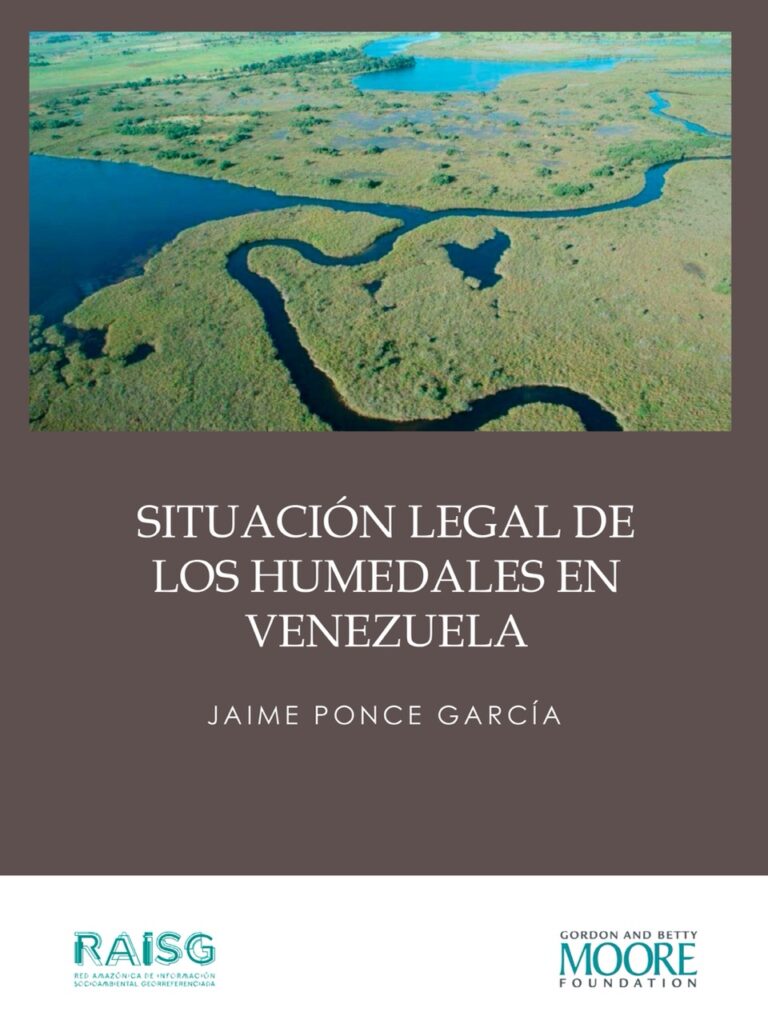
Situación legal de los humedales en Venezuela
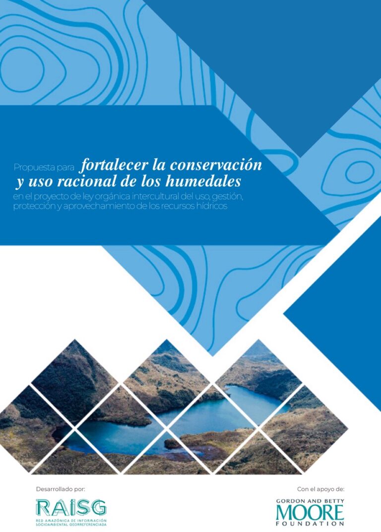
Propuesta para fortalecer la conservación y uso racional de los humedales en el proyecto de ley orgánica intercultural del uso, gestión, protección y aprovechamiento de los recursos hídricos
Priorización de humedales amazónicos. Herramienta para la identificación de sitios de importancia para la acción en conservación (resumen ejecutivo)
Humedales amazónicos en agenda pública. Evidencia, incidencia y oportunidades para la toma de decisiones
Dinámica histórica y escenario futuro del carbono aéreo almacenado en Paisajes de Acción Piloto en la Amazonía biogeográfica
Projects
Learn about the projects implemented by RAISG in partnership with other institutions