Cartographic Data
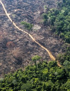
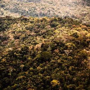
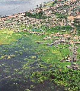
Visualization of geospatial information about the Amazon.
Share
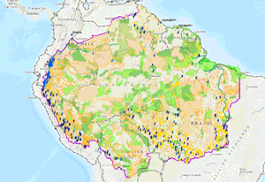
Online map
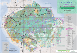
Geospatial information on the Amazon: indigenous territories and protected natural areas, infrastructure works, concessions and requests for the exploitation of natural resources.
Geographic data citation
The intellectual property of the data corresponds to the original sources in each country, described in the metadata. They can be government sources or information generated by RAISG member organizations, or even other civil society organizations.
The citation of geographic data must follow the form described in the "citation" field of the metadata of each topic.
Read more in Terms of use.
Downloads
Files in shapefile format to download and use offline.
-
RAISG Limits 2025
-
Natural Protected Areas jun/2025
-
Indigenous Territories jun/2025
-
Hidroeletrics Plants jun/2025
-
Hidroeletrics Plants jun/2025
-
Oil jun/2025
-
Mining blocks jun/2025
-
Roads 2025
-
Biomes 2025
-
Basins 2025
-
Illegal mining 2020
-
Fires (hot spots) 2020
-
Deforestation Bolivia 2020
-
Deforestation Brasil 2020
-
Deforestation Colombia 2020
-
Deforestation Ecuador 2020
-
Deforestation Guyanas and Suriname 2020
-
Deforestation Peru 2020
-
Deforestation Venezuela 2020
-
Deforestación total RAISG 2020
-
Future deforestation 2025
-
Burned areas 2016 - 2021
-
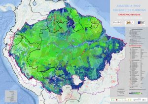
Key priority areas conservation 2022
Map of Key Priority Areas shows the conservation status of the Amazon
API format
Geo-referenced data for URL access in WMS (Web Map Services) standard.
The data can also be accessed directly in this RAISG directory: [ Data link ]