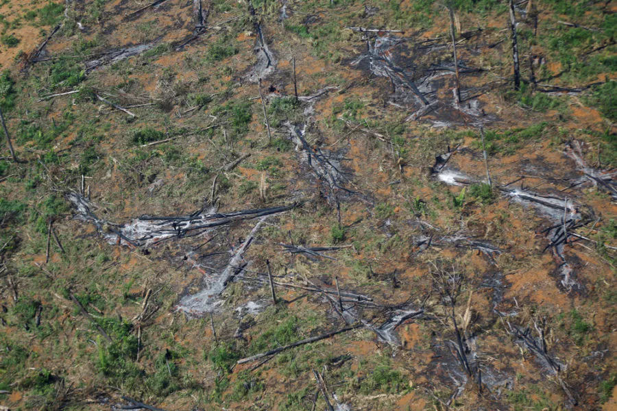
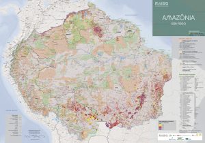
 The AMAZONIA UNDER FIRE map is the outcome of an analysis of the areas affected by burns and wildfires throughout the years 2019, 2020, and 2021. As a result of this collaborative work, the Amazonian Network of Geo-referenced Socio-environmental Information (RAISG), describes the dimensions of wildfires under a regional and national approach, with a special emphasis on Natural Protected Areas (NPAs) and Indigenous Territories (ITs). RAISG is a network of civil society organizations that work articulated under an integral vision of the Amazonia.