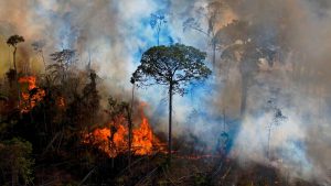
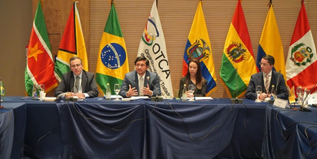
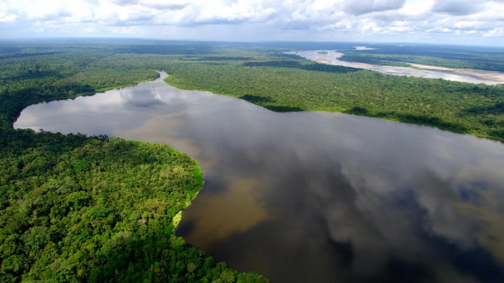
COP30: the Amazon as the center of the crisis and the climate solution
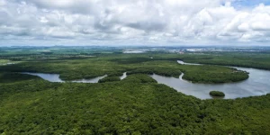
COP30, the world's largest climate change summit, will be held for the first time in the heart of the Amazon.
Future deforestation
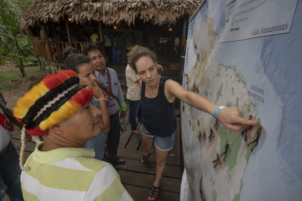
Shapefile map


Indigenous science and knowledge
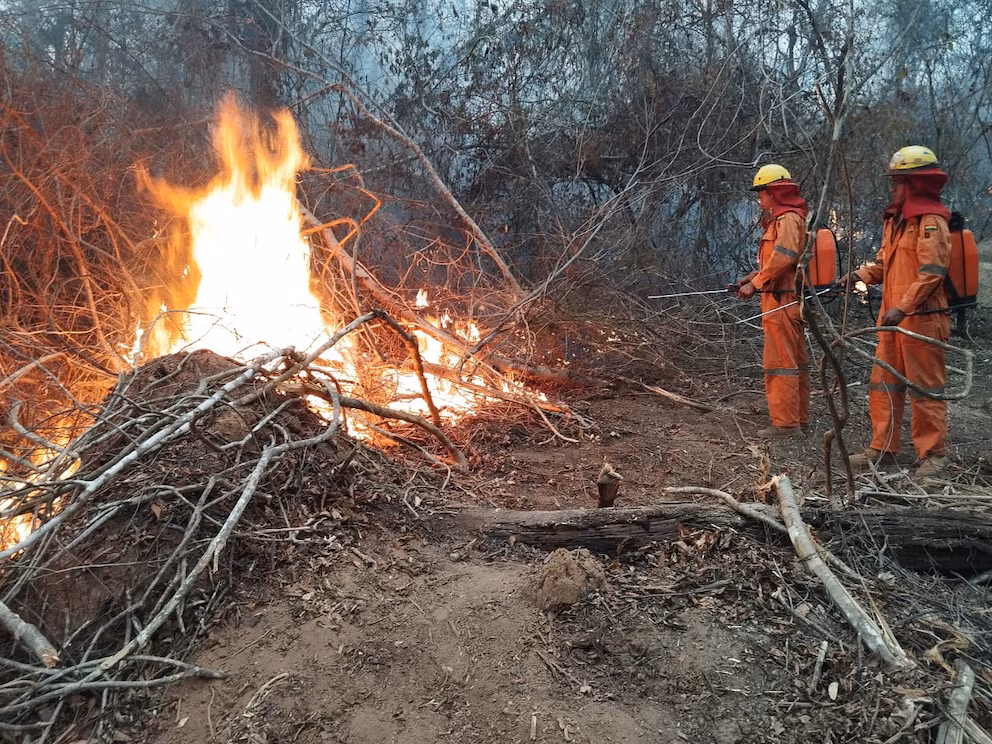
Project in progress